Produced by the United States Geological Survey North American Datum of 1983 (NAD83) World Geodetic System of 1984 (WGS84). Projection and 1 000-meter grid: Universal Transverse Mercator, Zone 14T 10 000-foot ticks: North Dakota Coordinate System of 1983 (south zone)
UTM GRID AND 2014 MAGNETIC NORTH DECLINATION AT CENTER OF SHEET U.S. National Grid 100,000-m Square ID
NS Grid Zone Designation
14T
1
0.5
0
1000
500
0
0
1000
0.5 2000
3000
SCALE 1:24 000
83
1
2
METERS 0
1000
2000
MILES FEET
5000
86000mE
85
46°15' 97°52'30"
ROAD CLASSIFICATION
KILOMETERS
4000
84
55'
5
5
5
5
5
81
57'30"
^ MN
0 140
137 5 5
23000m13N25
51
6000
7000
CONTOUR INTERVAL 5 FEET NORTH AMERICAN VERTICAL DATUM OF 1988 This map was produced to conform with the National Geospatial Program US Topo Product Standard, 2011. A metadata file associated with this product is draft version 0.6.16
8000
9000
NORTH DAKOTA
QUADRANGLE LOCATION
1
2
4 6
3 5
7
8
ADJOINING QUADRANGLES
Local Connector
Ramp
4WD
Local Road
Secondary Hwy
1 10000
Expressway
1 2 3 4 5 6 7 8
Verona NE Englevale Elliott Verona Elliott SE Oakes Crete Stirum
X W Interstate Route
. US Route /
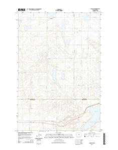
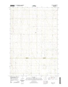
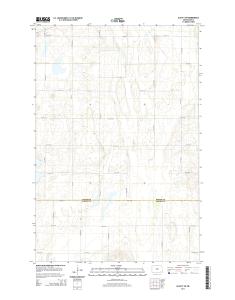
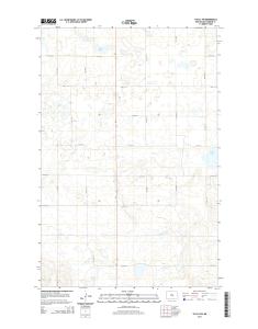
ELLIOTT SW, ND 2014
H State Route
7 6 4 3 0 1 6 3 7 9 7 7 7 NSN. NGA REF NO. U S G S X 2 4 K 1 4 1 2 2
2 abr. 2014 - 2. 3. R. D. A. V. E. S. E. 77TH ST SE. 80TH ST SE. 74TH ST S. 74TH ST SE .... 4WD. Secondary Hwy. Local Road. Interstate Route. State Route.
This map was produced to conform with the. National Geospatial Program US Topo Product Standard, 2011. A metadata file associated with this product is draft version 0.6.16. CONTOUR INTERVAL 5 FEET. NORTH AMERICAN VERTICAL DATUM OF 1988. SCALE 1:24 00
9 abr. 2014 - Boundaries may be generalized for this map scale. Private lands within government reservations may not be shown. Obtain permission before.
10 abr. 2014 - This map was produced to conform with the. National Geospatial Program US Topo Product Standard, 2011. A metadata file associated with ...
Eureka. Mesa. San Pedro. Peaks. San Pedro. Peaks. San Pedro. Mountains. Puertecito de las Perchas ... 8 Seven Springs. 2 Gallina. 3 Arroyo Del Agua. 4 Cuba.
Río San. R ío de las Vacas. Río Guaonica. Río Viví. R ío. Grande de Arecibo. Río ... Jordan. Lago. Adjuntas. PO. Adjuntas. Quebrada. La Mocha. Quebrada.
Haystac. Mounta. D o g. M o u n ta in s. Dog. Spring. Ranch. D eer. Flat. Eagle. Mountain. Campbell. Well. Sentinel. Butte. Dog. Mountains. Pierce. Peak. Corner.
Rio Grande. Rio Grande. Rio Grande. R io. G ra n d e. Rio Grande. R io. G rande ... Canyon. Quinn. Creek. Gettysburg. Peak. McCutchen. Ranch. Candelaria. 13.
S 220TH ST. RENTON AVE S. W JAMES ST. S 127T ..... E JAMES ST. SW 34TH ST. SW 7TH ST. 8. 4. T. H ..... 1 Seattle South. 8 Black Diamond. 2 Mercer Island.
84TH ST SE. 86TH ST SE. 84TH ST SE. 8. 9. T. 83RD ST SE. 8. 6. T. H. A. V. E. S. E. 88TH ST SE. 86TH ST SE. 88TH ST SE. C. R. -3. M a p le. R iv er. Maple River. S. F o rk. M a p le. R iv e r. Maple River. Monango. Boynton. 30'. 98°. 46°. 30". 46°. 3