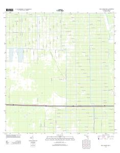
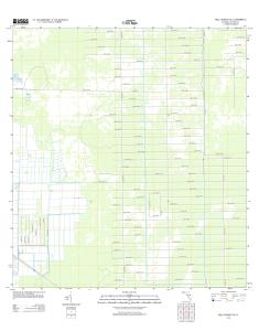
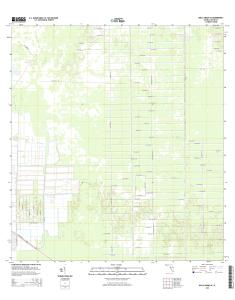
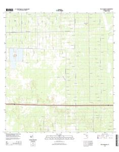
USGS 7.5-minute image map for Belle Meade SE ... - The National Map
Public Land Survey System. ... Private lands within government reservations may ... 7. 6. 4. 3. 0. 1. 6. 3. 6. 0. 2. 8. 9. NGA REF NO. U. S. G. S. X. 2. 4. K. 3. 1. 6. 8.
UTM GRID AND 2015 MAGNETIC NORTH DECLINATION AT CENTER OF SHEET U.S. National Grid 100,000-m Square ID
MJ Grid Zone Designation
17R
32'30"
1
0.5
0
KILOMETERS
1
2
1000
500
0
METERS 0
1000
2000
0
1000
0.5 2000
3000
4000
MILES FEET
5000
6000
7000
CONTOURS NOT PRESENT BECAUSE AVAILABLE ELEVATION DATA DO NOT MEET ACCURACY REQUIREMENTS This map was produced to conform with the National Geospatial Program US Topo Product Standard, 2011. A metadata file associated with this product is draft version 0.6.18
8000
9000
4
4
45
SCALE 1:24 000
^ 5° 35´ 99 MILS 0° 15´ 4 MILS
4
44
46
47
4
26°00'
4
49000mE
48
81°30'
ROAD CLASSIFICATION FLORIDA
2
4 6
3 5
7
8
ADJOINING QUADRANGLES
Ramp
4WD
Local Road
X W Interstate Route
QUADRANGLE LOCATION
1
Local Connector
Secondary Hwy
1 10000
Expressway
1 2 3 4 5 6 7 8
Belle Meade NW Belle Meade NE Catherine Island Belle Meade Deep Lake SW Marco Island Royal Palm Hammock Weavers Station
. US Route /
H State Route
BELLE MEADE SE, FL 2015
7 6 4 3 0 1 6 3 6 0 2 8 9 NSN. NGA REF NO. U S G S X 2 4 K 3 1 6 8
BELLE MEADE NE, FL ... National Geospatial Program US Topo Product Standard, 2011. ... 10 000-foot ticks: Florida Coordinate System of 1983 (east zone).
Eureka. Mesa. San Pedro. Peaks. San Pedro. Peaks. San Pedro. Mountains. Puertecito de las Perchas ... 8 Seven Springs. 2 Gallina. 3 Arroyo Del Agua. 4 Cuba.
Río San. R ío de las Vacas. Río Guaonica. Río Viví. R ío. Grande de Arecibo. Río ... Jordan. Lago. Adjuntas. PO. Adjuntas. Quebrada. La Mocha. Quebrada.
Haystac. Mounta. D o g. M o u n ta in s. Dog. Spring. Ranch. D eer. Flat. Eagle. Mountain. Campbell. Well. Sentinel. Butte. Dog. Mountains. Pierce. Peak. Corner.
Rio Grande. Rio Grande. Rio Grande. R io. G ra n d e. Rio Grande. R io. G rande ... Canyon. Quinn. Creek. Gettysburg. Peak. McCutchen. Ranch. Candelaria. 13.
S 220TH ST. RENTON AVE S. W JAMES ST. S 127T ..... E JAMES ST. SW 34TH ST. SW 7TH ST. 8. 4. T. H ..... 1 Seattle South. 8 Black Diamond. 2 Mercer Island.
84TH ST SE. 86TH ST SE. 84TH ST SE. 8. 9. T. 83RD ST SE. 8. 6. T. H. A. V. E. S. E. 88TH ST SE. 86TH ST SE. 88TH ST SE. C. R. -3. M a p le. R iv er. Maple River. S. F o rk. M a p le. R iv e r. Maple River. Monango. Boynton. 30'. 98°. 46°. 30". 46°. 3